

 April-08-2012
 Following the steep valley walls of the Saskatchewan River southwest of Edmonton, the Devon trail offers an excellent training circuit with just enough variety and views to keep things interesting. Beginning from Voyageur Park, the trail rises and falls along the river and through the forest, eventually passing some hoodoos (unique rock formations that form due to their ability to resist, or their protection from, normal erosion processes) before following a creek out of the valley. Taking 3-4 hours to complete, the Devon trail makes for a great excursion when you can't get away to the mountains.
There are two specific reasons why Devon is an excellent training location. The first is that the constant elevation change along the trail leads to an impressive accumulation of 569m (1,867 ft.) in vertical gain over the course described here — the equivalent of a small mountain. Secondly, with many criss-crossing and parallel trails, Devon offers all kinds of options to customize, shorten, or lengthen a hike through the area. The described route here covers the key landmarks in the area and results in a 12.4km (7.7mi) circuit.
Trip Information
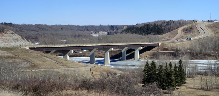
The starting point for the Devon trail can be found near the boat launch in Voyageur Park. To reach it, turn on to Athabasca Avenue from Highway 60, turn left at Superior Street, and then make another left at Saskatchewan Avenue; you'll find the park to your right, at the bottom of the hill next to the bridge.
The trail follows the river for a kilometre east, past a picnic area, a pedestrian bridge, and a small boardwalk section before reaching an area known as “the switchbacks”. The trail climbs steeply here to the top of the valley and, although a fair amount of effort has gone into building decent railings, the ground is usually saturated with water due to poor drainage. This can make the climb particularly slippery at the best of times, and downright icy during early season or winter ascents.
If “the switchbacks” are in particularly bad shape, there are two ways to deal with it. One is to hold on to the railings for dear life, as I've witnessed some people do. The other, better way, is to follow a visible path up through the moss on the left side of the trail that offers much better traction.
From there, the trail follows a high line first passing the golf course and then the campground, following a quick traverse across a road. Keeping to the high line, past the campground while heading south, you'll soon run into the highlight of the area, a rocky hillside with intricate erosion patterns. At the crossroads which soon follows (marked with a series of bizarre wooden crucifixes), follow the trail upwards to the right and then take the fork to the left when you reach the top of the valley. The trail then descends to the creek area, where continuing to the right (south) will gradually lead you to the high point of the trail, where after a break, you'll need to turn around and descend.
Like the trek to this point, the return offers a wide variety of route possibilities. You could return the way you came, or to match what's mapped here, follow the creek trail to a spot where a wooden bridge crosses it below and to the right. This trail then contours to the left as it follows the creek back towards the campground. At the campground, follow the road next to the river until the trail eventually resumes next to the golf course. This trail follows the river around the course, past a small water treatment plant, and then curves sharply uphill to the trail you followed in from Voyageur Park.
Considerations
Trekking poles are highly recommended for this trail in order to provide more propulsion on uphill climbs, and more stability on descents. The use of microspikes can be a necessity over the winter, during the early season, or even after significantly damp periods.
Due to its proximity to both the town of Devon and a substantial campground, it's not unusual to encounter unleashed dogs and the occasional cyclist while wondering along the trails.


