 August-27-2011
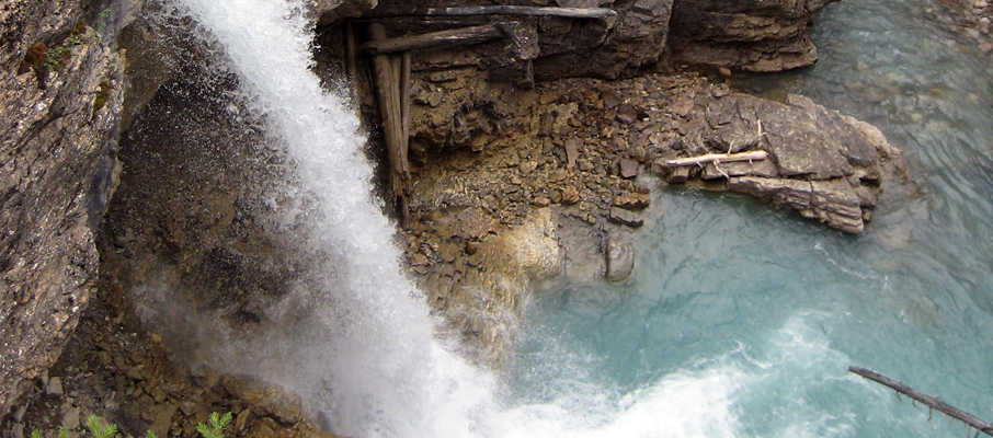
 Home to a picturesque canyon and a number of significant waterfalls such as Stanley Falls, Beauty Creek serves as a great alternative to Maligne Canyon during the busy tourist season, or for those seeking an easy half-day trip while passing through the Columbia Icefields region. Shaded for most of the day by nearby Tangle Ridge, Beauty Creek is best explored in the afternoon once the sun's drifted to the west.
Trip Information
One of the most challenging aspects of Beauty Creek is simply locating the trailhead, which begins at an unmarked pull-out area on the eastern side of the Icefields Parkway (Hwy 93), roughly 8km north of Tangle Falls and 3km south of the Beauty Creek Hostel. From there, the well defined trail follows the creek for a little while before cutting through a small wooded area to a de-commissioned road right-of-way. Follow this road for a few hundred metres to the south and you'll find yourself at an abrupt end to the road, and also the beginning of the canyon. Start climbing the path to your left and the rest of the route to Stanley Falls will be very obvious.
However, what may not be obvious is which waterfall is Stanley Falls, as it's not signed, the trail continues beyond it, and it isn't that much different from other waterfalls you'll have passed by that point. Both myself, and a couple I met along the canyon were confused by the matter and kept going. Aside from looking at these photos, other ways to identify Stanley Falls is to remember that it's the third significant waterfall you'll encounter from the beginning of the journey, or watch for the trail to begin following the creek side beyond the canyon.
Considerations
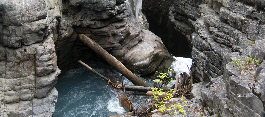
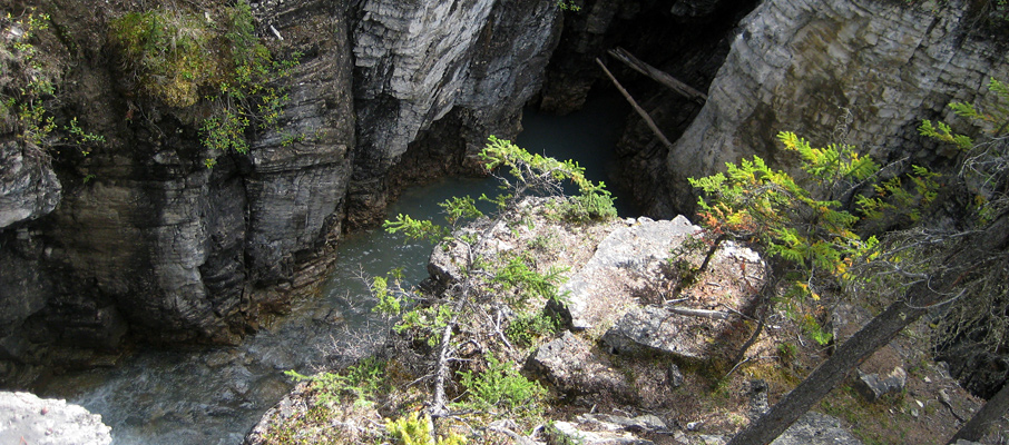
Unlike Maligne Canyon with its handrails, stairs, fences and other conveniences and safeguards, Beauty Creek is a wild place. You can basically go wherever you want, such as climbing on many of the rocky outcrops that can be advantageous for peering deep into the canyon; but be sure to exercise care while doing so, particularly during wet conditions.
As mentioned earlier, the trail continues for a few kilometres beyond Stanley Falls to another trio of waterfalls. I only followed this additional trail for a little while before a section traversing a steep, hard clay slope, with only marginal footing, persuaded me to turn back and call it a day. Having since seen some photos of those other waterfalls, I may return one day to complete the full route.


